
The 106,697 ha DTC is located about 120km to the southwest of the State capital Kuala Terengganu, in the administrative district of Dungun, and mainly in the Forest District of South Terengganu (Fig. 1). The area consists of 6 Permanent Reserved Forests (PRFs) which are located north, west and east of the Sungai Dungun Valley. They are Jengai PRF (51,840 ha), Besul PRF (6,270 ha), Jerangau PRF (9,810 ha), Pasir Raja Barat PRF (6,547 ha), Pasir Raja Selatan PRF (31,712 ha), and Besul Tambahan PRF (518 ha).The area has a typical tropical monsoon climate with uniformly high temperatures (from 24.2°C to 29.9°C), high humidity (from 70% to 98%) and a relatively high rainfall of up to in excess of 4,000mm per year. Consequently the proportion of really productive working days in the forest may range between 30% to 40% only per year. Logging activities practically come to a halt from November (or as early as August) through to late January. The driest months usually occur around February to April.
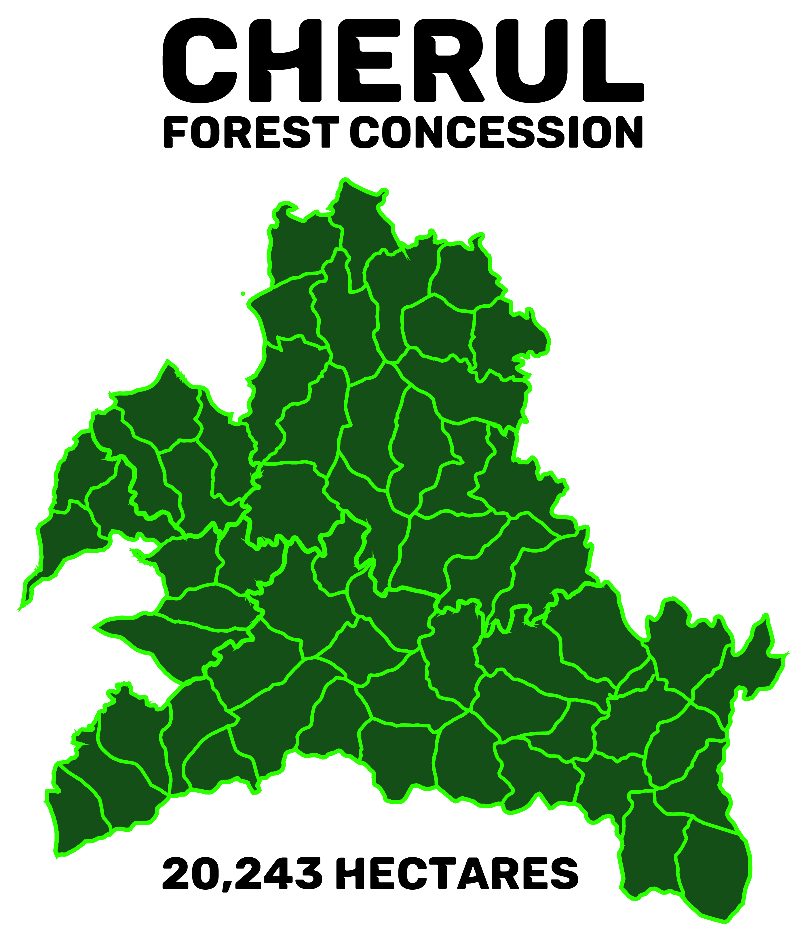
Cherul Forest Concession (CFC) is located in the south of the State of Terengganu Darul Iman, Malaysia, about 100km to the west of Bandar Chukai, Kemaman, in the Forest District of South Terengganu. The concession comes under the jurisdiction of the Administrative District of Kemaman and the Forest District of South Terengganu.
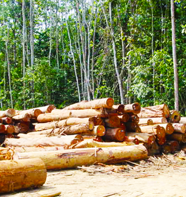
With a total area of approximately 20,243 hectares, the forest concession comprises 59 compartments ranging in hectarage from 199.51 to 486.03 hectares. The concession is currently under the management of the Kumpulan Pengurusan Kayu-Kayan Trengganu Sdn Bhd (KPKKT) since 1999.The Cherul Forest Concession (CFC) is legally referred to on “Kawasan Perjanjian Cherul”. Previously it was managed by Pesama Timber Corporation Sdn Bhd but taken over by Kumpulan Kayu Kayan Terengganu Sdn Bhd (KPKKT) in 1999. General components of the forest stand in the concession are made up of Meranti, Keruing and Balau species from the dipterocarp group and Kelat, Medang, Rengas and Mahang represent the majority of non-dipterocarp.
The area has a typical tropical monsoon climate with uniformly high temperatures (from 24.2θC to 29.9θC), high humidity from 70% to 98% and a relatively high rainfall of up to 4,000mm per year. As a result of the heavy and often prolonged rainy season, the proportion of productive working days in the forest may range between 30% and 40% per year. Typical to the East Coast region of Peninsular Malaysia, rainfall in the CFC Area peaks during the northeast monsoon, in November to January. Daily hours of sunshine are usually around 6 – 7 hours, but might reach 8 – 9 hours in February through April.
The geology of the area consists of 3 rock types, represented by Carbonaceous Slate, Igneous Rock and Metamorphic Rock. Topographically, the concession area has a very hilly topography ranging between 50 and 650 meters above sea level with majority of it lying within the range of 50 to 300 meters, generally consisting of short and steep slopes.
The area is mostly drained by Sungai Cherul which cuts through the concession area, flowing transversely from West to East before draining into the South China Sea, almost dividing the concession into two equal parts. The other large river is Sungai Terajol, which is the tributary of Sungai Cherul forming the north-eastern border of the concession, flowing from north of the concession area and separating the concession from the Chenderong oil palm plantation. Sungai Bakar, which is the tributary of Sungai Terajul on the north separates the northern part of the concession area from the rest of Cherul Permanent Reserved Forest in the north. Sungai Mas, which is also a tributary of Sungai Cherul forms the south-west border of the concession area.
Typical to the mixed tropical rain forest, CFC comprises mainly of mixed dipterocarps and non-dipterocarps species with diversified biological resources. Bamboos, palms, resam, climbers and rattan occupy most of the undergrowth and spaces on the forest floor. A rapid assessment on wildlife’s occurrence and abundance was conducted during the establishment and inventory of the sample plots in 2001. The existing permanent sample plots (PSP) were re-established in 2006. Based on the survey reports, there were significant numbers of large mammals in the area. Large mammals that were most commonly seen were elephants, tigers, gaurs, deer, tapir and wild boars. Gibbons, monkeys, sambar deer, barking deer and mousedeer were also recorded. There were also sightings of sun bear.